-
HOT DEALS
-10%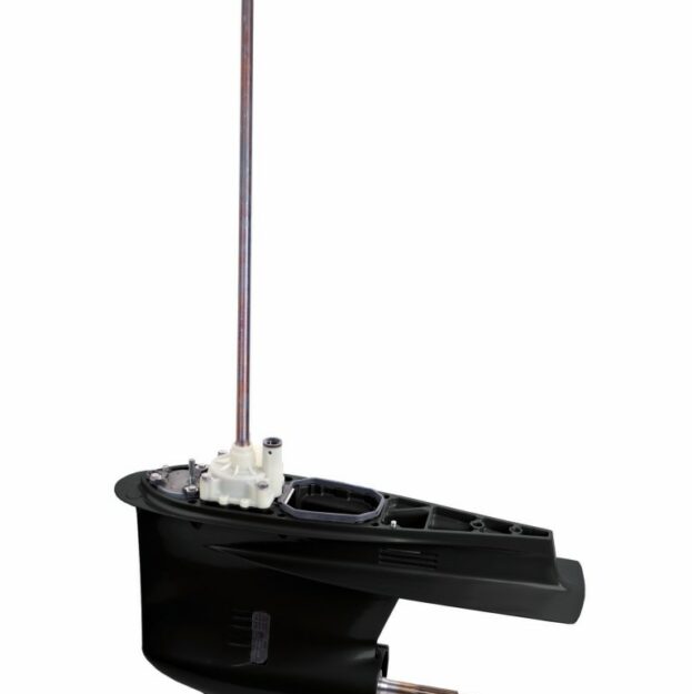 Select options This product has multiple variants. The options may be chosen on the product page
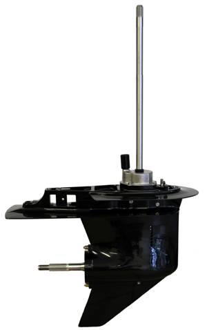
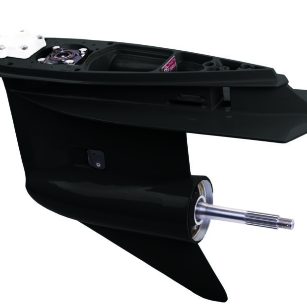
Yamaha 76 degree 200-250 HP
SKU: ST-90-421Original price was: $1,215.45.$1,095.00Current price is: $1,095.00.-10%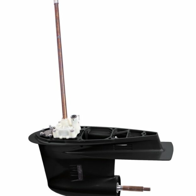 Select options This product has multiple variants. The options may be chosen on the product page
Yamaha 90 degree 150-200 HP Counter Rotation
SKU: ST-90-418$1,295.00-10%
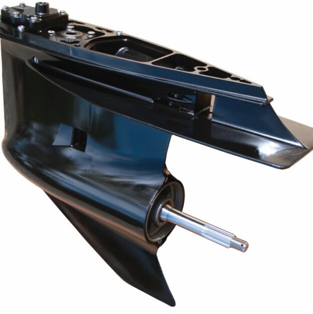
Select options This product has multiple variants. The options may be chosen on the product pageYamaha 76 degree V6 200-250 HP Counter Rotation
SKU: ST-90-428Original price was: $1,437.45.$1,295.00Current price is: $1,295.00.SE 304 REPLACES JOHNSON / EVINRUDE EARLY MODEL V4 WITH 2.0:1
SKU: ST-90-304-AOriginal price was: $1,215.45.$1,095.00Current price is: $1,095.00.SE 305 JOHNSON EVINRUDE REPLACEMENT GEARCASE 2.0:1 GEAR RATIO
SKU: ST-90-305-AOriginal price was: $1,215.45.$1,095.00Current price is: $1,095.00.SE 306 REPLACES JOHNSON / EVINRUDE V6 W/1.83:1 RATIO
SKU: ST-90-306-BOriginal price was: $1,215.45.$1,095.00Current price is: $1,095.00.-9%
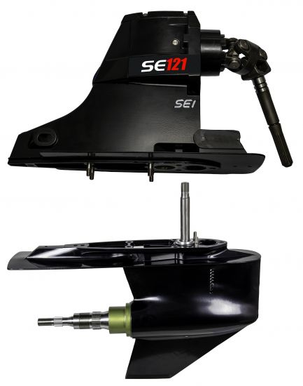
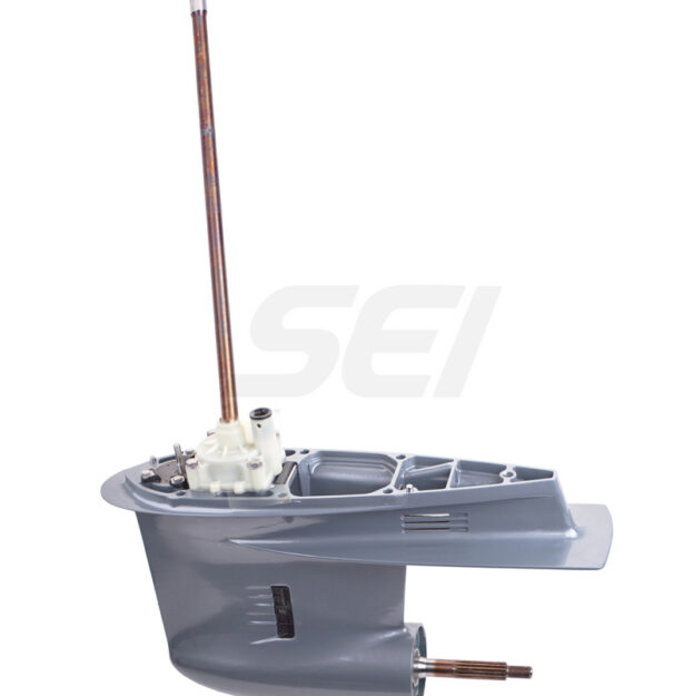
Select options This product has multiple variants. The options may be chosen on the product pageYamaha 90 degree 150-200 HP
SKU: ST-90-416Original price was: $1,204.50.$1,095.00Current price is: $1,095.00.SE308 JOHNSON EVINRUDE REPLACEMENT COUNTER ROTATION GEARCASE
SKU: ST-90-308-BOriginal price was: $1,437.45.$1,295.00Current price is: $1,295.00.JOHNSON EVINRUDE V4 LARGE CASE 2.25 RATIO
SKU: ST-90-306-COriginal price was: $1,215.45.$1,095.00Current price is: $1,095.00.-10% Select options This product has multiple variants. The options may be chosen on the product page
Yamaha 4 Stroke 115-130 HP
SKU: ST-90-405Original price was: $1,215.45.$1,095.00Current price is: $1,095.00.-10%
Select options This product has multiple variants. The options may be chosen on the product pageYamaha 250 HP 4 Stroke Counter Rotation
SKU: ST-90-429Original price was: $1,659.45.$1,495.00Current price is: $1,495.00.-10%
Select options This product has multiple variants. The options may be chosen on the product pageYamaha 250 HP 4 Stroke
SKU: ST-90-422Original price was: $1,437.45.$1,295.00Current price is: $1,295.00.-10%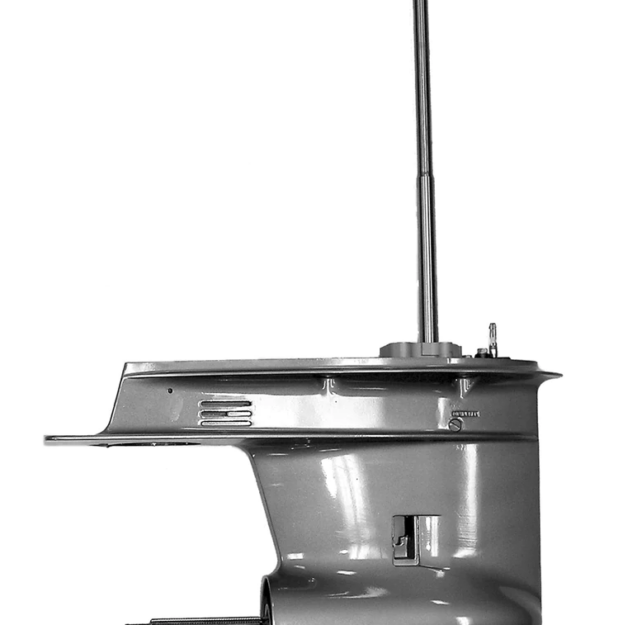 Select options This product has multiple variants. The options may be chosen on the product page
Yamaha 75-100 HP/ F75/90A 4 Stroke Lower Unit 1999-2017
SKU: OBR-YA-G4-02$2,147.00 – $2,417.00Johnson / Evinrude 318 1.85 Counter Rotation (Replaces Johnson/Evinrude Magnum Units)
SKU: ST-90-318-AOriginal price was: $1,659.45.$1,495.00Current price is: $1,495.00.SE 316 1.85 Replaces Johnson Evinrude Magnum Units
SKU: ST-90-316-AOriginal price was: $1,437.45.$1,295.00Current price is: $1,295.00.-10% Select options This product has multiple variants. The options may be chosen on the product page
Yamaha VZ 200/225/250/300 HP V6 3.3L HPDI Lower Unit – 2003-2009
SKU: OBR-YA-G6-07B$3,600.00 – $3,800.00-15%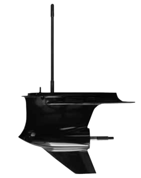 Select options This product has multiple variants. The options may be chosen on the product page
Yamaha VF 200/225/250 HP V6 4 Stroke Lower Unit, 2010-2022
SKU: OBR-YA-G6-07$3,660.00 – $4,119.00-2%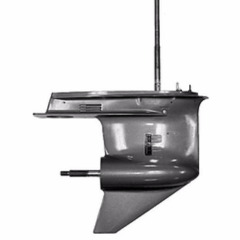 Select options This product has multiple variants. The options may be chosen on the product page
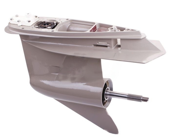
Yamaha V6 4 Stroke F225-300HP 4.2L 2010-2020
SKU: OBR-YA-G6-30Original price was: $4,407.00.$4,307.00Current price is: $4,307.00.-10%Hot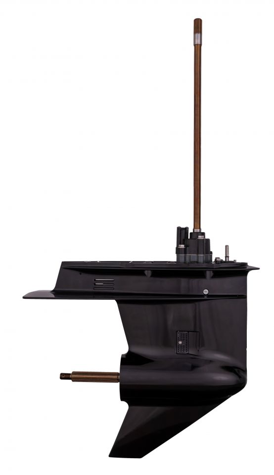 Select options This product has multiple variants. The options may be chosen on the product page
SE404 (REPLACES SOME YAMAHA 2-STROKE AND 4-STROKE 75-100 HP
SKU: ST-90-404Original price was: $1,215.45.$1,095.00Current price is: $1,095.00.-7%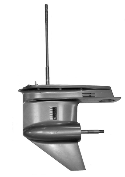 Select options This product has multiple variants. The options may be chosen on the product page
Yamaha 115 HP / 115A 4 CYL 4-STROKE 2014-2023
SKU: OBR-YA-G4-03$2,552.00 – $2,822.00
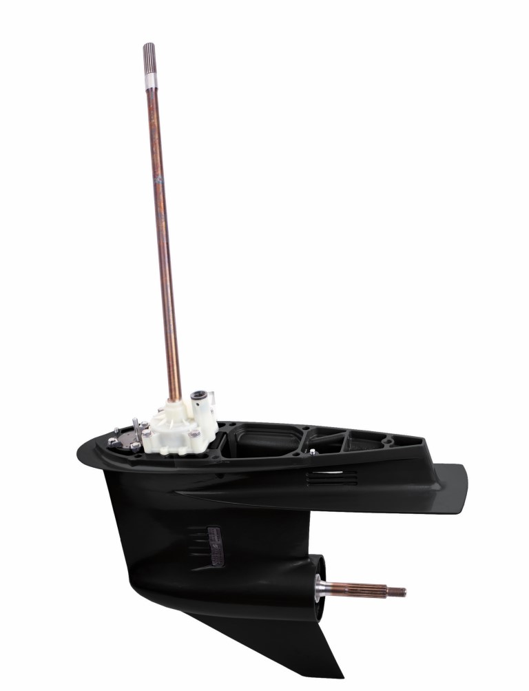
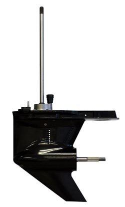
Yamaha 90 degree 150-200 HP
Original price was: $1,204.50.$1,095.00Current price is: $1,095.00.Add to cart -
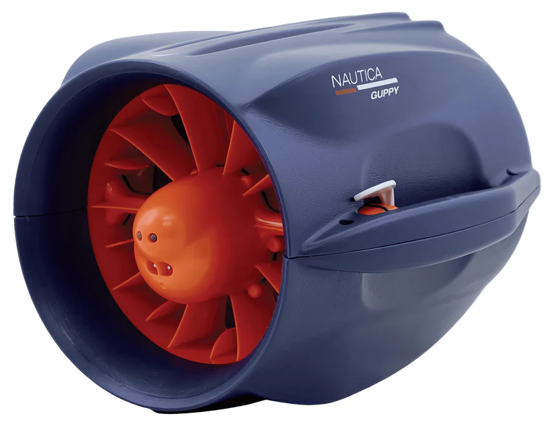
Guppy Seascooter
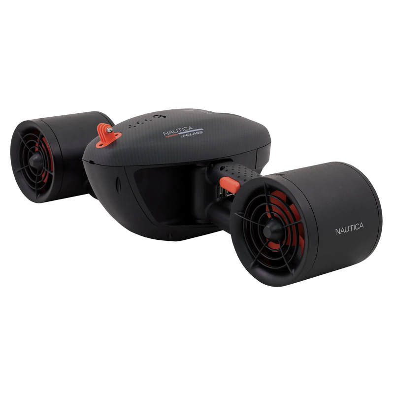
SKU: NT-NAE23005J Class Seascooter
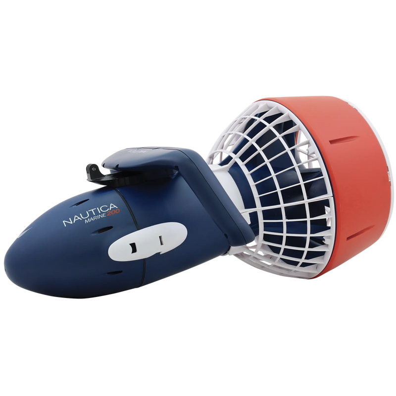
SKU: NT-NAE22750Marine 200 Seascooter
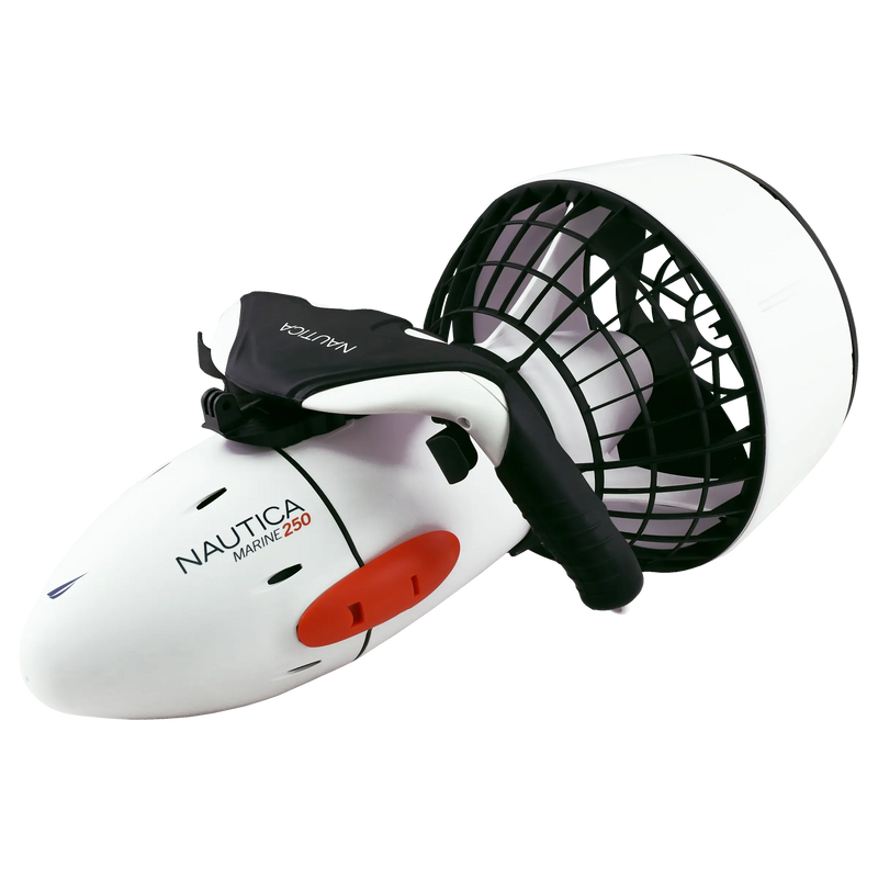
SKU: NT-NAE23200Marine 250 Seascooter
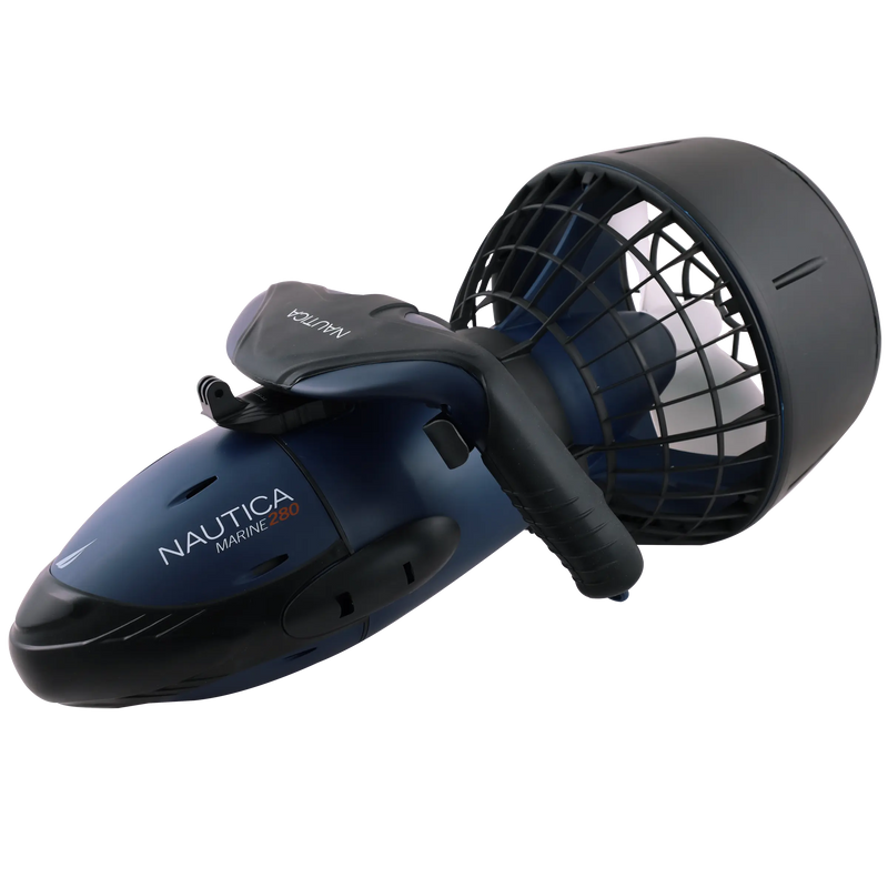
SKU: NT-NAE23250Marine 280 Seascooter
SKU: NT-NAE23280Marine 300 Seascooter
SKU: NT-NAE23300Marlin Seascooter
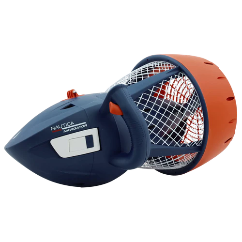
SKU: NT-NAE23003Navigator Seascooter
SKU: NT-NAE23001 -


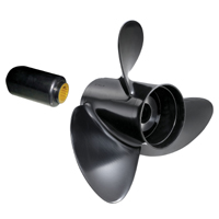
Rubex 3 9111-093-07 Aluminum Boat Propeller
SKU: DM-910516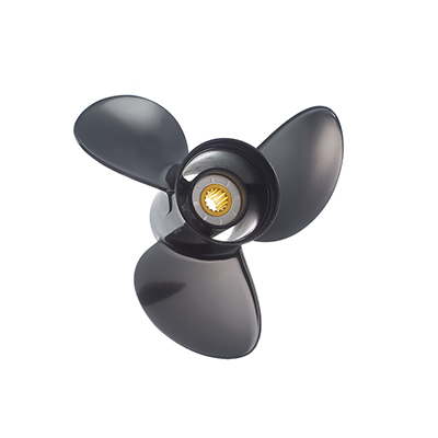
Amita 1111-093-08 Aluminum Boat Propeller
SKU: DM-890372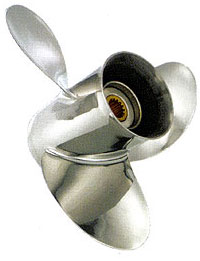
Saturn 1121-093-08 Stainless steel Boat Propeller
SKU: DM-858211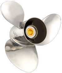
New Saturn 1231-105-11 Stainless steel Boat Propeller
SKU: DM-858401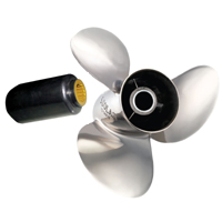
Rubex NS3 9331-111-14 Stainless steel Boat Propeller
SKU: DM-916140Rubex HR3 9481-131-18 Stainless steel Boat Propeller
SKU: DM-917320
Titan 1441-138-15 Stainless steel Boat Propeller
SKU: DM-859249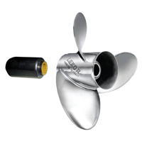
Rubex L3 9571-148-23 Stainless steel Boat Propeller
SKU: DM-919095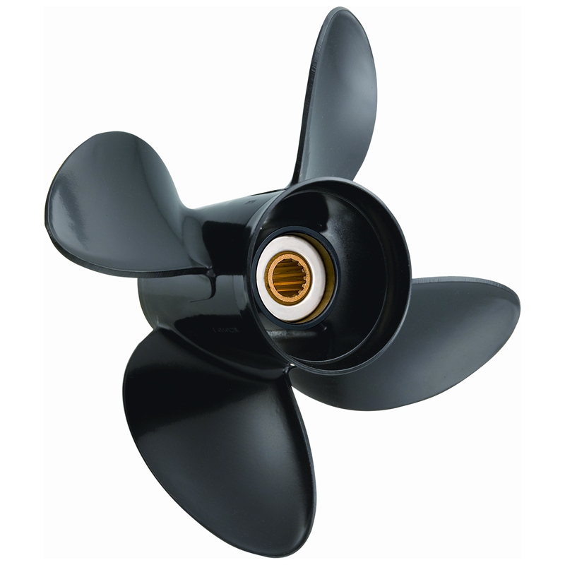
Amita 1113-093-09 Aluminum Boat Propeller
SKU: DM-890461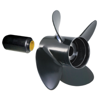
Rubex 4 9513-140-21 Aluminum Boat Propeller
SKU: DM-912813
HR Titan 4 1253-100-10 Stainless steel Boat Propeller
SKU: DM-858451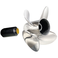
Rubex HR4 9453-133-15 Stainless steel Boat Propeller
SKU: DM-917027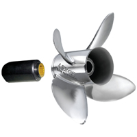
Rubex L4 9573-153-22 Stainless steel Boat Propeller
SKU: DM-919778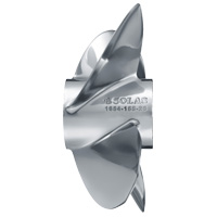
Bravo 3 1654-160-18 Stainless steel Boat Propeller
SKU: DM-860355


Top rated products