


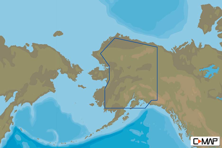
C-MAP M-NA-D029 4D microSD Alaska Lakes
Original price was: $113.85.$101.97Current price is: $101.97.
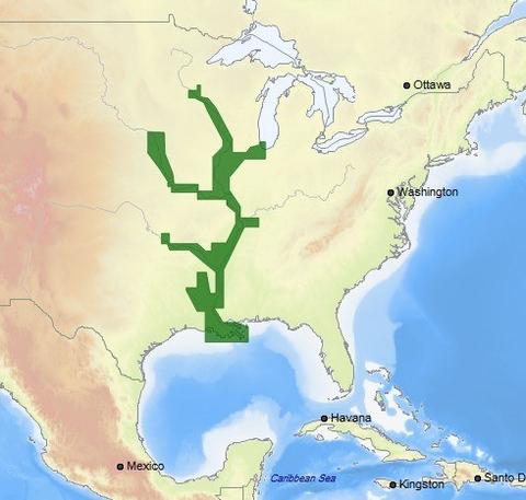
C-MAP M-NA-D038 4D microSD US Rivers MS, Red, AR Ouachita, IL, MO
Original price was: $228.85.$204.97Current price is: $204.97.
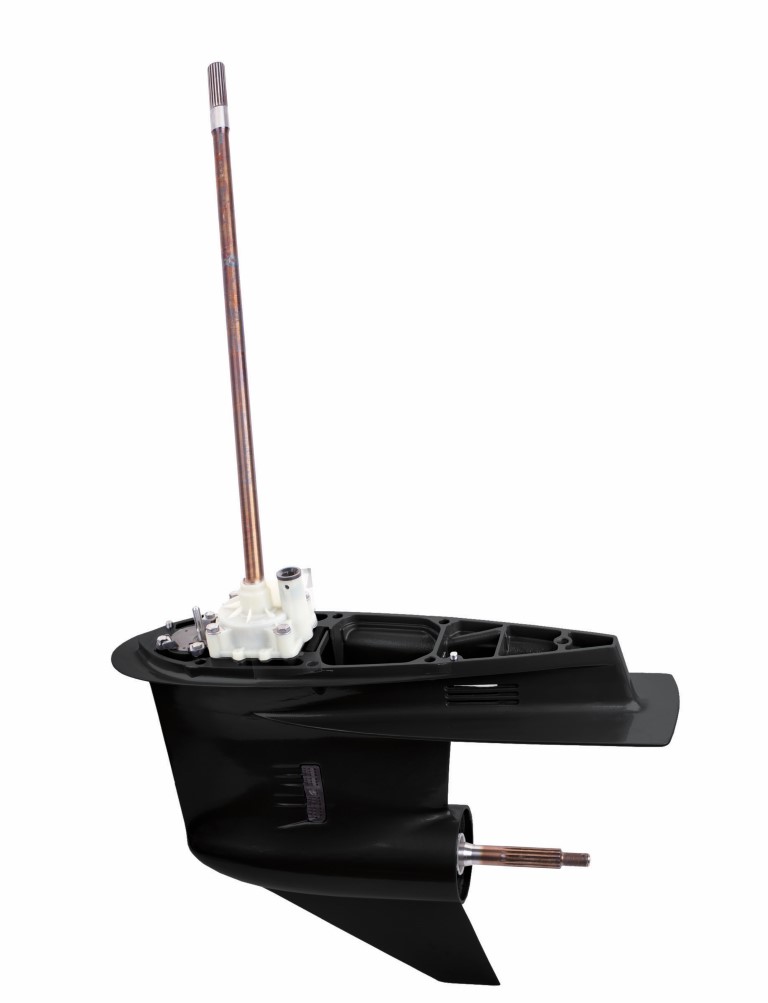
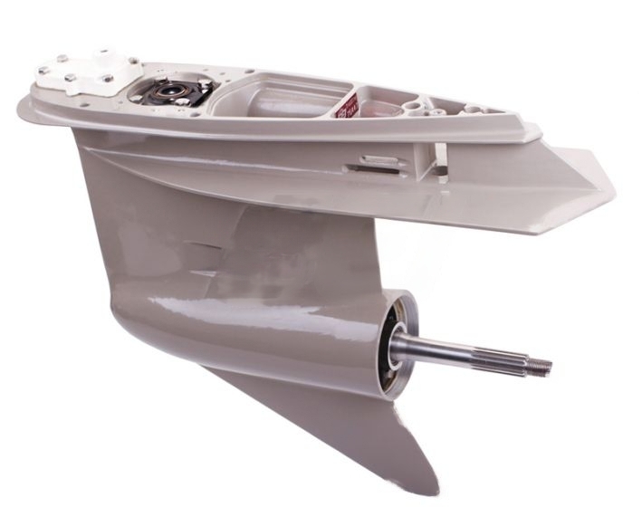
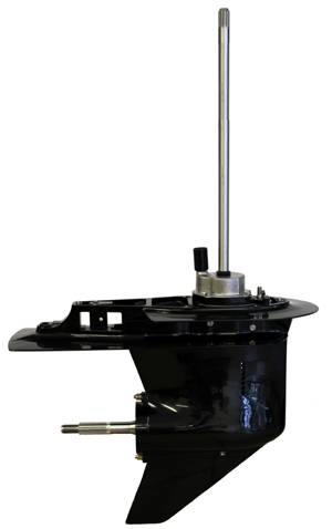
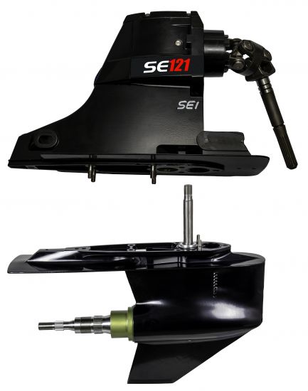
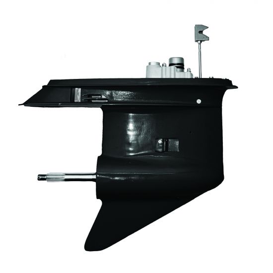
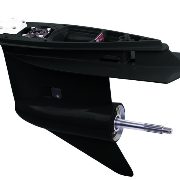
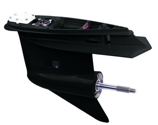
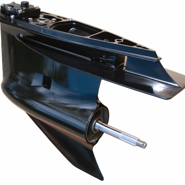
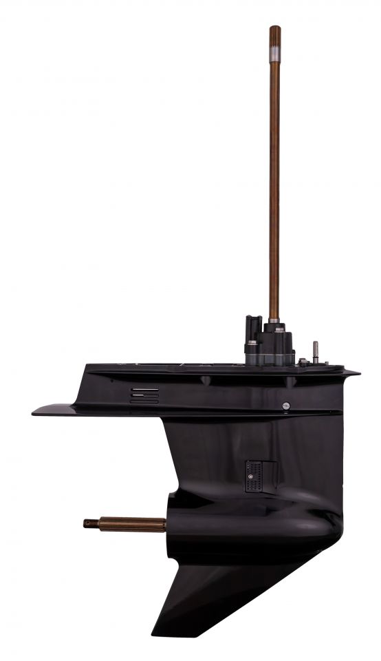
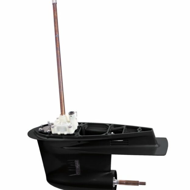
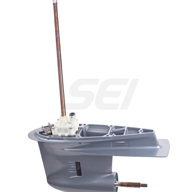
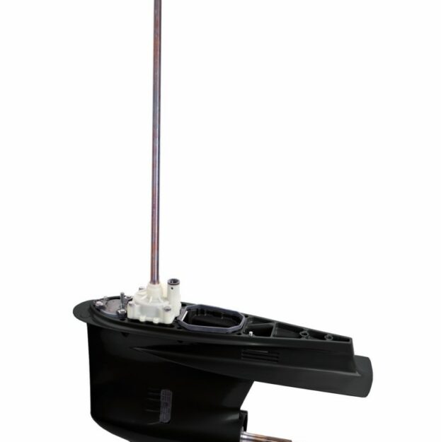
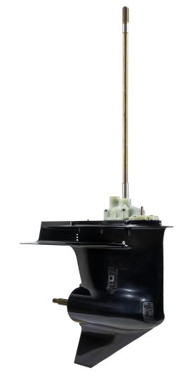
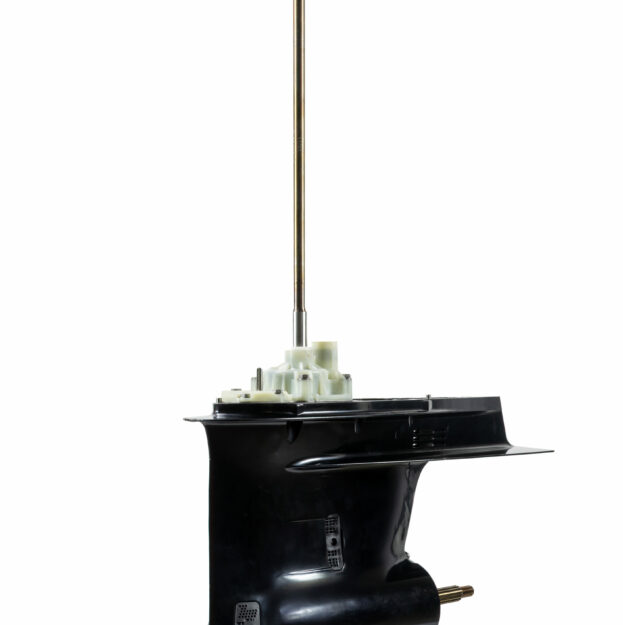
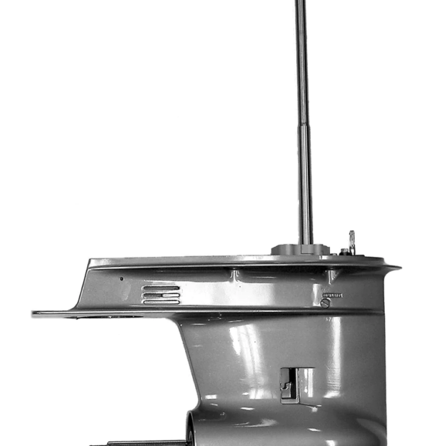
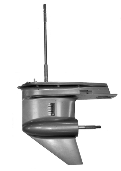
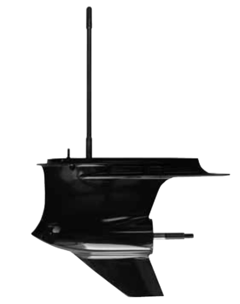
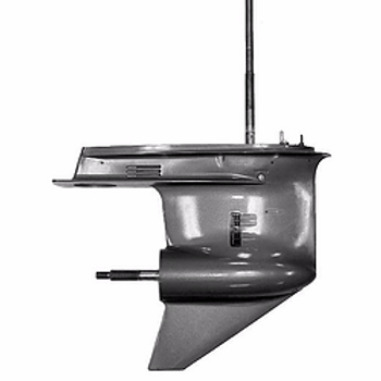
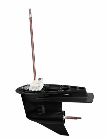
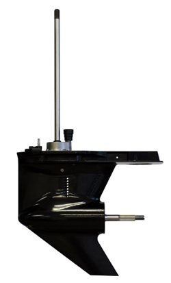
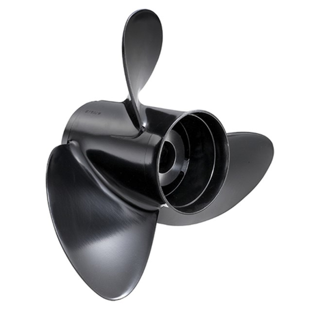
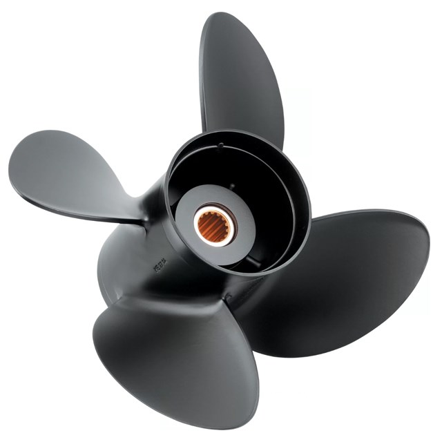
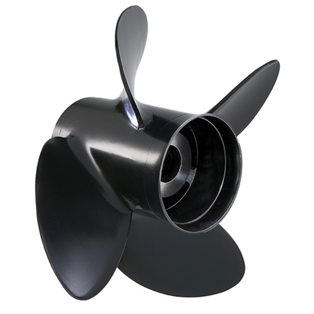
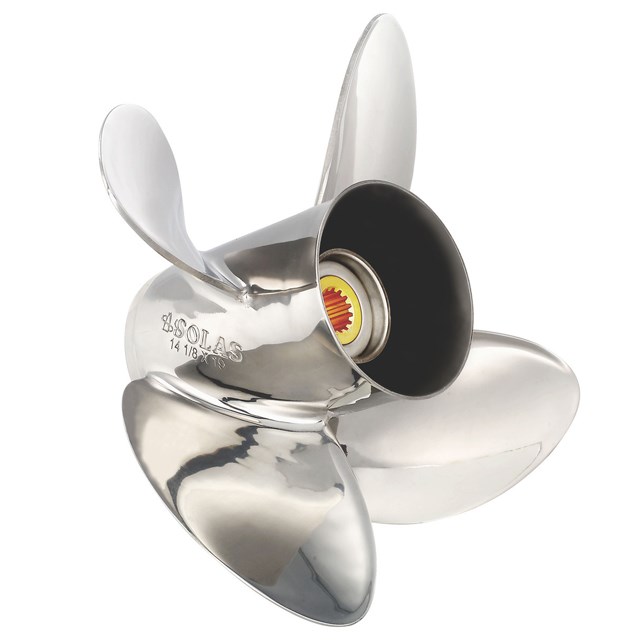
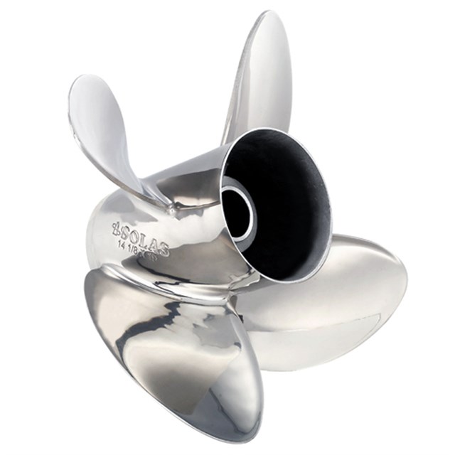
- You cannot add "Mariners Warehouse Aftermarket Lower Unit Replacement for Johnson Evinrude 1978-1998 V4 2:1 Ratio" to the cart because the product is out of stock.
-10%

C-MAP M-NA-D033 4D microSD Atlantic Coast, Gulf of Mexico Caribbean
Original price was: $205.85.$184.37Current price is: $184.37.
MFG: M-NA-D033-MS
In stock
Description
C-MAP M-NA-D033 4D microSD
Atlantic Coast, Gulf of Mexico Caribbean
Model: M-NA-D033-MS
- Provides a wealth of chart detail with the versatility to customize data layers and how they are viewed
- Traditional "paper chart" look with unique ability to access information on buoys, lights and other details
- Stunning three-dimensional views of land elevation and bottom contours bring the world around (and under) your boat
- High-resolution satellite imagery provides real-world reference, enhances situational awareness for coastal navigation
- The highest available detail of underwater pinnacles, ledges and canyons that are magnets for offshore and coastal gamefish.
- Provides angling intelligence for wrecks and reefs, Fish ID photos, fishing tips, updated regulations, state records and more.
- Automatically plots the shortest, safest route based on detailed chart data and user vessel information
- interactive on-screen tide graphs and current arrow.
- Aerial pictures of harbor entrances, channels, and marinas.
- Search and receive alerts for rocks, obstructions, shallows depths and other navigation hazards.
- More than 140 languages can be displayed using native character sets.
C-MAP 4D MAX+ is the latest evolution of electronic charting technology, combining award-winning vector chart data with exclusive Dynamic Raster Charts and the ability to view charts in 2D or amazing 3D presentation with high-resolution satellite imagery. Packed with innovative features designed to enhance every cruising, fishing or sailing experience
Additional information
Brand
Only logged in customers who have purchased this product may leave a review.
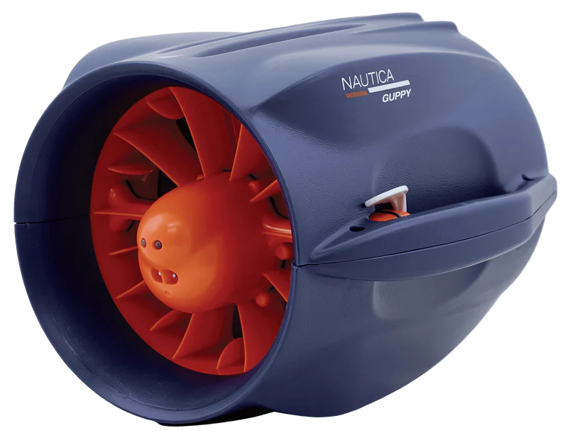
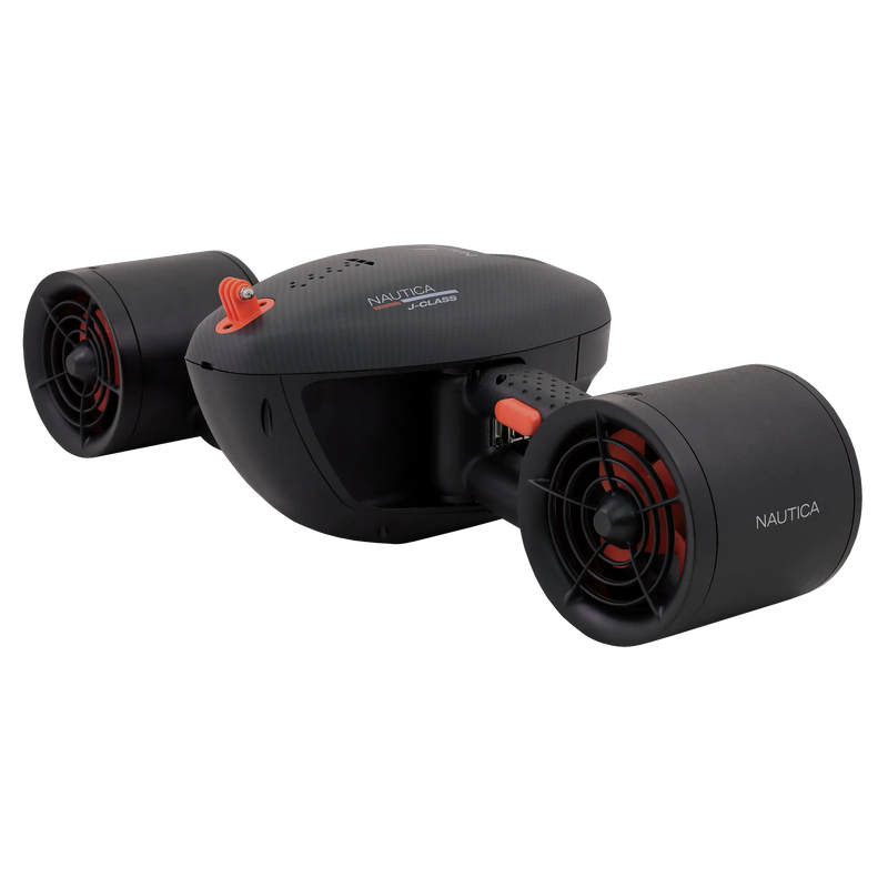
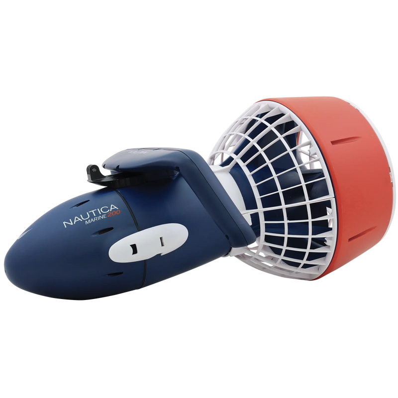
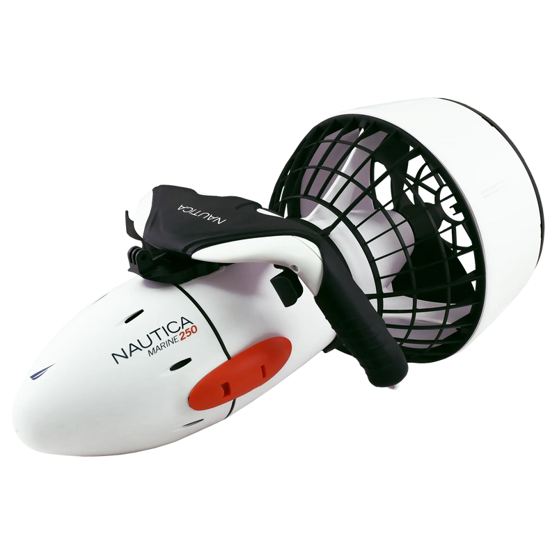
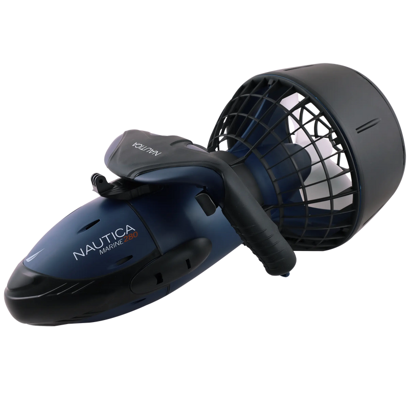
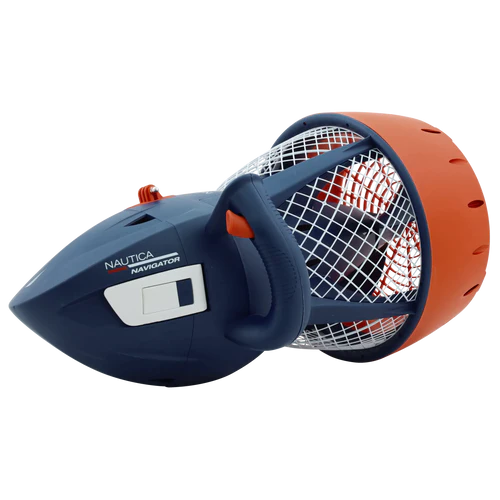
Related products
Original price was: $241.49.$216.29Current price is: $216.29.
SKU:
WT-GAR0100070300
Original price was: $3,219.99.$2,883.99Current price is: $2,883.99.
SKU:
WT-GAR0100070562
Original price was: $241.49.$216.29Current price is: $216.29.
SKU:
WT-GAR0100122600
Original price was: $183.99.$164.79Current price is: $164.79.
SKU:
WT-GAR0100150400
Original price was: $862.49.$772.49Current price is: $772.49.
SKU:
WT-GAR0100095700
Original price was: $2,702.49.$2,420.49Current price is: $2,420.49.
SKU:
WT-GAR0100070595
Original price was: $7,072.49.$6,334.49Current price is: $6,334.49.
SKU:
WT-GAR0100070593
Original price was: $3,449.99.$3,089.99Current price is: $3,089.99.
SKU:
WT-GAR0100070591


Reviews
There are no reviews yet.